The Maldives are a chain of coral islands formed on the peaks of an underwater mountain range, the Chagos-Lacadive Plateau, which reaches heights of up to 5 km above the surrounding seabed. The actual rock summits of this mountain range are in various depths; some data indicate that the coral limestone can be up to about 2 km thick at places. But a coral layer of around 120 m thick can certainly be expected, because that’s how much the sea level rose after the end of the Last Ice Age about 12,000 years ago.
The maximum pace about 3 cm per year of this rise was between about 10 000 and 6 000 years before present; the grow of corals was able to follow it. The sea level reached a maximum level of approximately 5,000 years ago (Holocene Cimatic Optimum). Then it slowly began to decline again in the connection with the beginning of the Neoglacial (present part of the Holocene). As a result, the peaks of the coral cliffs began to emerge above sea and gradually created islands, mostly in the period between 6,000 and 4,500 years ago. The main period of islands rise was 4,000 – 3,000 years ago. Shortly thereafter, the human settlement followed. The sea level slowly dropped until about 1,500 years ago, when it was almost 1 m lower than it is today (Late Antiquity Little Ice Age).
The following slight rise was interrupted by the Medieval Little Ice Age about 500 years ago, which resulted in a drop again by almost 1 m. In connection with the still ongoing termination of this Little Ice Age (present warming), the sea level starts to slowly rise again. Currently, the rise is 1 – 2 mm per year according to the tide gauges, or around 3 mm by satellite measurements (this difference is not explained yet). In any case, the rate of sea level is in an order less than at the end of the Last Ice Age. Therefore, the concerns that the Maldives will be completely submerged below the sea by the end of this century are completely baseless. Corals can grow in pace with it as in the past.
The varying depths of the mountain peaks have resulted in the different shapes and sizes of today’s islands. Where this depth is great, rings of islands and islets of varying sizes have formed (and are still forming), encircling the inner lagoon of various size. This is the case for the vast majority of Maldivian islands – atolls; they are mostly disconnected narrow strips of land around the lagoon proper, possibly with an outer coral reef rim. The inner islands in the lagoon then formed in shallower places.
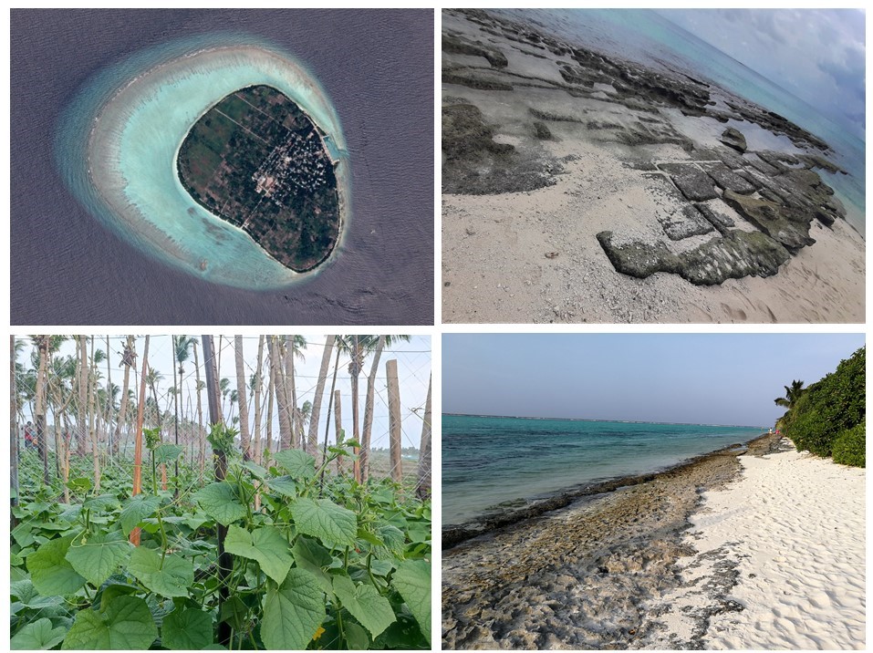
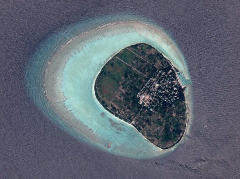
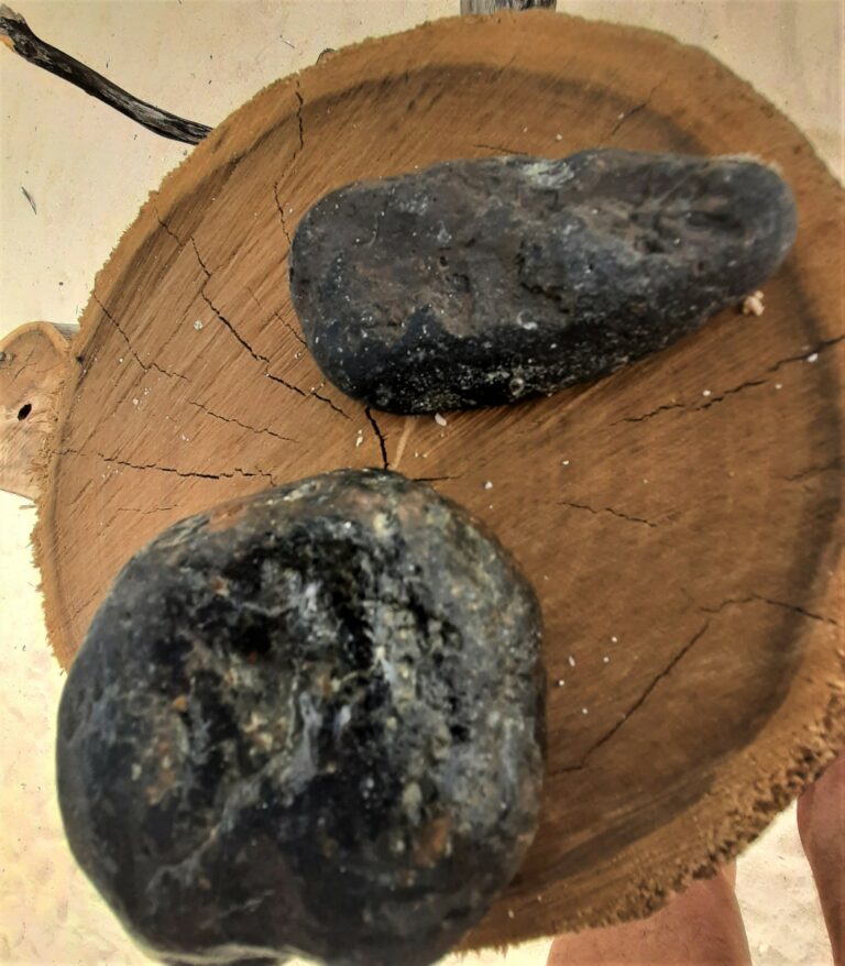
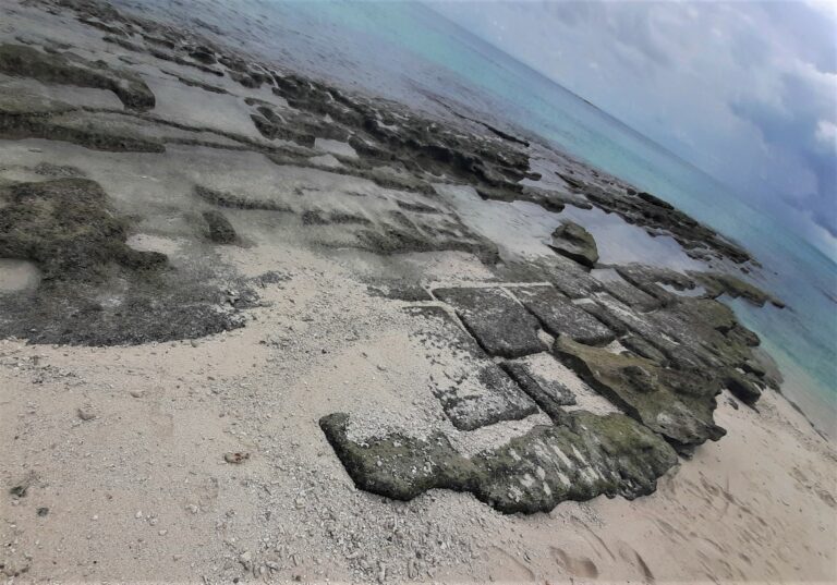
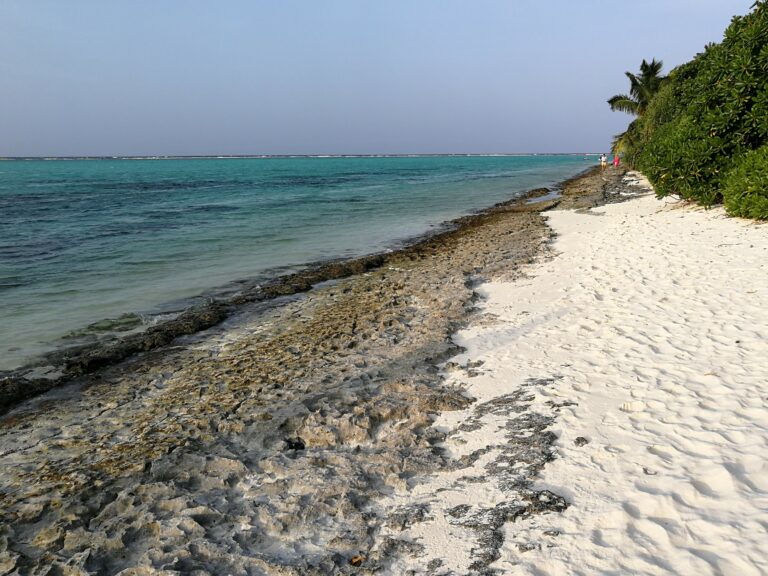
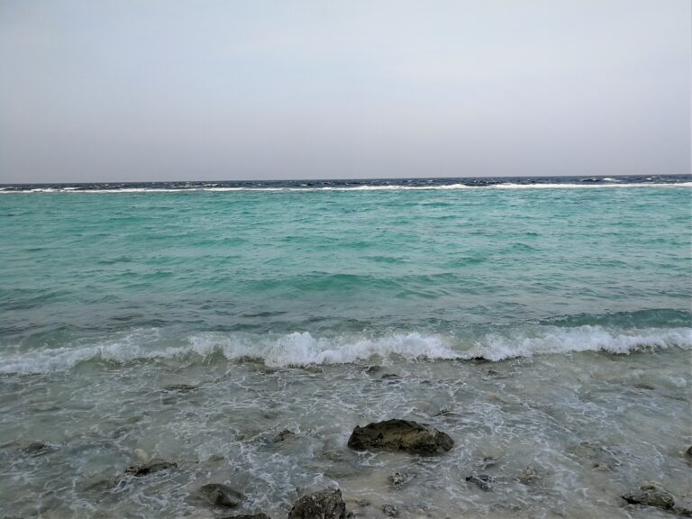
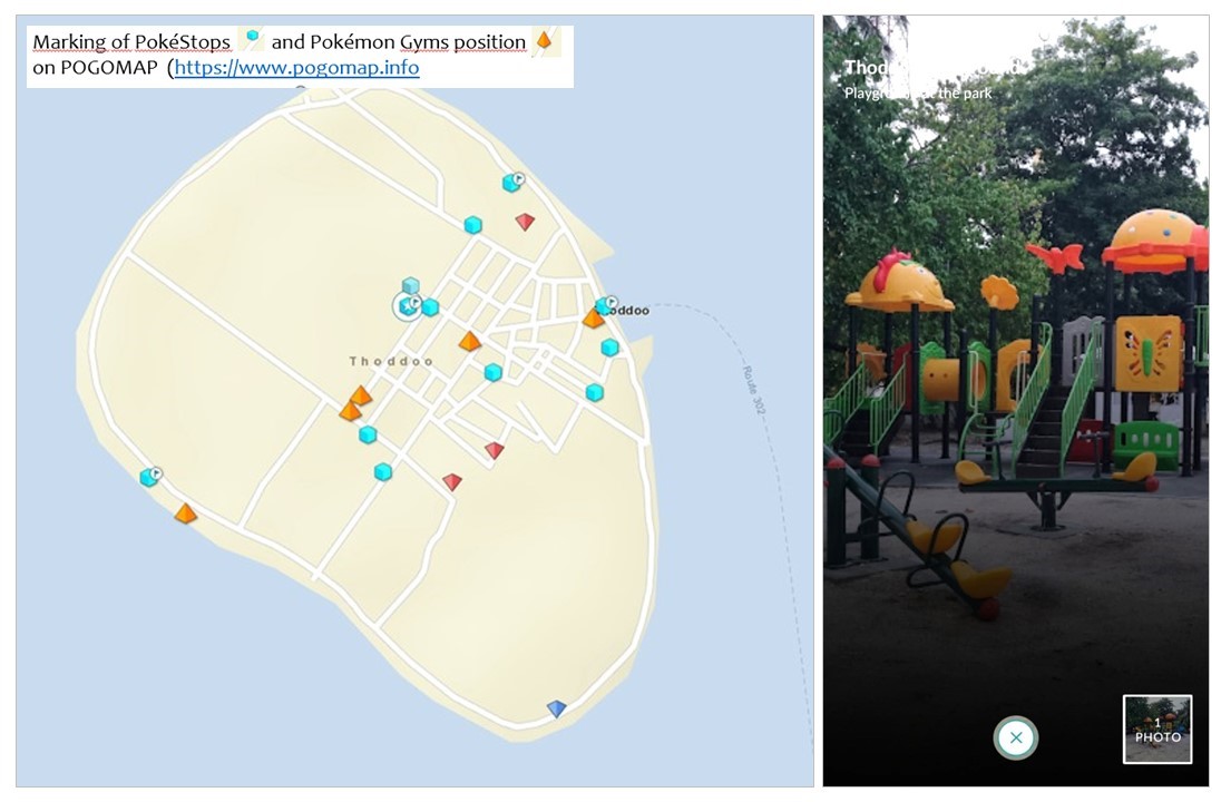
Thoddoo Island, however, is different in this respect. Here there is no inner lagoon; the island is a rounded continuous piece of land with a regular smooth shoreline, located somewhat eccentrically in the outer lagoon with a rim reef. This indicates that it is in fact a lonely peak of a seamount on which a mass of coral has gradually grown. The summit may not be in a greater depth, although it is not surfaced currently anywhere. It is most likely to be expected where the coral rim is narrowest, closest to the shore, in the highest southern part of the island. There I actually found several large rocks, clear ancient igneous or metamorphed rocks similar to those in Sri Lanka, ground up and altered as a result of being for a long time in seawater (I was careful to differ them with the boulders in the harbour, however, as these are different rocks brought from elsewhere. There is also plenty of ground up bits of manmade material in the sand; some of them imitate natural pebbles quite well). Without proper equipment, I can’t reliably evaluate the rather large flat and fairly regularly fissured rock slabs found here at the coast. However, I think that they are older coral layers or cemented beach sediments (beachrock), not outcrops of the rock summit.
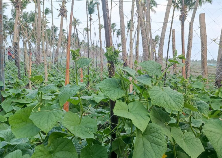
This difference in the geological structure of Thoddoo is probably the reason why the island – unlike other Maldivian atolls – has enough water for extensive fruit and vegetable plantations. It is not only dependent on rainwater during the monsoon, but also has groundwater reserves.
Something about the author of this post
Author of this post – Jiří Hruška, a retired geologist, compiled this article based on his observations during his holiday on Thoddoo island and with help a scientific sources.
